

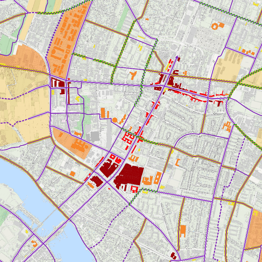
The technologies created by tbw research are specialized in the domain of transport and planning and range from simple spatial analyses to site and location choice modeling (raster-based choice models applying fuzzy logic analyses) to complex accessibility indicators (network-analysis).
The developed technologies can be used in the form of analysis-workflows and processing tools that were developed as applications or plugins (QGIS, QGIS Processing, Python modules and packages, PostGIS). Our Know-How on the programming language Python ensures interoperability between Open Source Platforms and proprietory systems (e.g. ArcGIS). This enables us to develop technologies that offer solutions for all kinds of analytical needs and diverse fields of research.


 |
 |
 |